Powerful ESRI mapping tool helps Crimestoppers visualise how ‘everything happens somewhere’
ESRI’s dynamic software enables Contact Centre staff to forward crime information quickly to all relevant police and law enforcement agencies who need to know.
Every hour of every day, people with information about crime contact our charity in the hope of making a difference.
The amount of information we are given voluntarily in any 24-hour period is substantial. It’s essential that locations relating to all tip-offs are as accurate and detailed as possible.
ESRI – a valued partnership
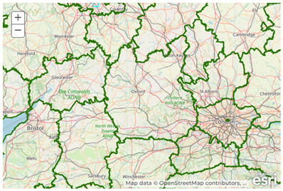
That’s why we are proud to partner with ESRI. Their specialist software enables us to utilise the ‘science of where’.
With around 2,000 people contacting Crimestoppers each day, their information must be plotted or mapped to ensure it’s passed to the correct law enforcement agency and/or police force.
ESRI also enables us to identify new and emerging crime trends.
ESRI mapping allows staff at Crimestoppers to drill down into very specific targeted areas to look at the crime reporting picture. This is especially helpful when assessing how effective our campaigns and appeals have performed.
Without ESRI technology, this would be a resource intensive manual task that would also be considerably less accurate.
The pin records the longitude and latitude coordinates of where a crime is taking place or has previously occurred. With over 600 reports being sent to law enforcement every day, it’s crucial that we record the details of the incident - and not the person contacting us - accurately and securely and that we can access the data to provide valuable insights for our partners. In particular, these saved coordinates help us understand the impact of our local campaign work which is driven by our Regional Manager colleagues around the UK.
“Our charity’s UK Contact Centre relies on the mapping software provided by ESRI. It hugely benefits our operation by saving time and enabling us to make more effective use of the crime information we receive and pass on.
“ESRI’s mapping tool is a fundamental component in the operation of our busy 24/7 Contact Centre and has had a powerful impact in speeding up and making our processes more streamlined. This means we can support more people than ever to pass on what they know about crime.”
Louise Peers, Head of Contact Centre Services at Crimestoppers
Widely trusted
Using AI and geographical information systems, ESRI helps organisations to unlock the full potential of data using what’s known as location intelligence.
A huge array of organisations have embedded ESRI software into their systems and organisations:
- RUSI (Royal United Services Institute) - the world's oldest defence and security think tank
- Police forces like the Metropolitan Police, Thames Valley Police and City of London Police
- Fire and rescue services such as Hampshire and the Isle of Wight Fire & Rescue, and Humberside Fire & Rescue
- Health services including NHS trusts
- Local councils such as City of Westminster, Hertfordshire County Council and Glasgow City Council
- Charities like Ramblers and British Red Cross
- Communications giants like Vodafone
- Government agencies like Historic England and National Highways
- Construction companies and vital utilities including energy and water suppliers.
Learn more about how ESRI supports organisations like ours and what they may offer your company.